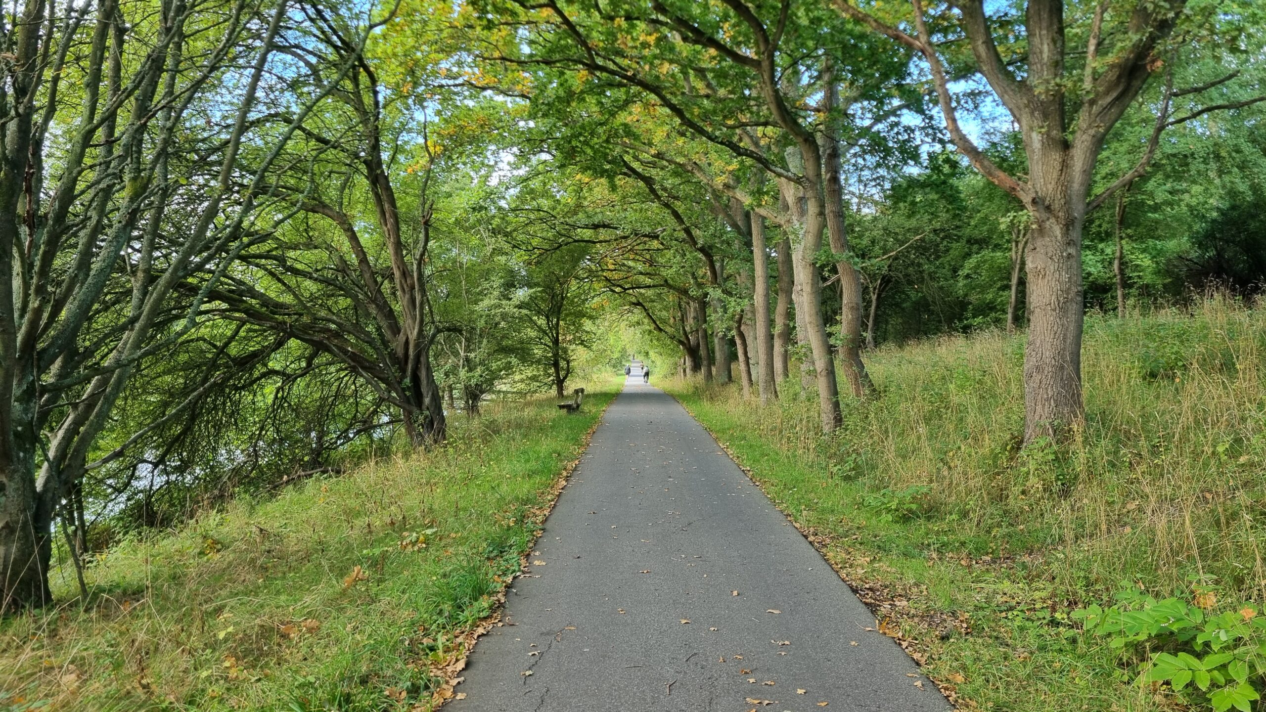
Flooding status: All good!
Distance to town: 11 km
Flooding status: All good!
Distance to town: 11 km
Flooding status: All good!
Distance to town: 7.9 km
Flooding status: All good!
Distance to town: 7.8 km
Flooding status: All good!
Distance to town: 7.8 km
Flooding status: All good!
Distance to town: 7.3 km
Flooding status: All good!
Distance to town: 6.5 km
Flooding status: All good!
Distance to town: 6.1 km
Flooding status: All good!
Distance to town: 5.8 km
Flooding status: All good!
Distance to town: 5.4 km
Flooding status: All good!
Distance to town: 4.7 km
Flooding status: All good!
Distance to town: 4.6 km
Flooding status: All good!
Distance to town: 4.5 km
Flooding status: All good!
Distance to town: 3.4 km
Flooding status: All good!
Distance to town: 3.4 km
Flooding status: All good!
Distance to town: 3 km
Flooding status: All good!
Distance to town: 2.8 km
Flooding status: All good!
Distance to town: 2.8 km
Flooding status: All good!
Distance to town: 2.3 km
Flooding status: All good!
Distance to town: 2.3 km
Flooding status: All good!
Distance to town: 1.9 km
Flooding status: All good!
Distance to town: 1.5 km